


MEEG provides a variety of services to a broad range of industries.
Software Services
Underground Detection Equipment
Hazard Areas Studies
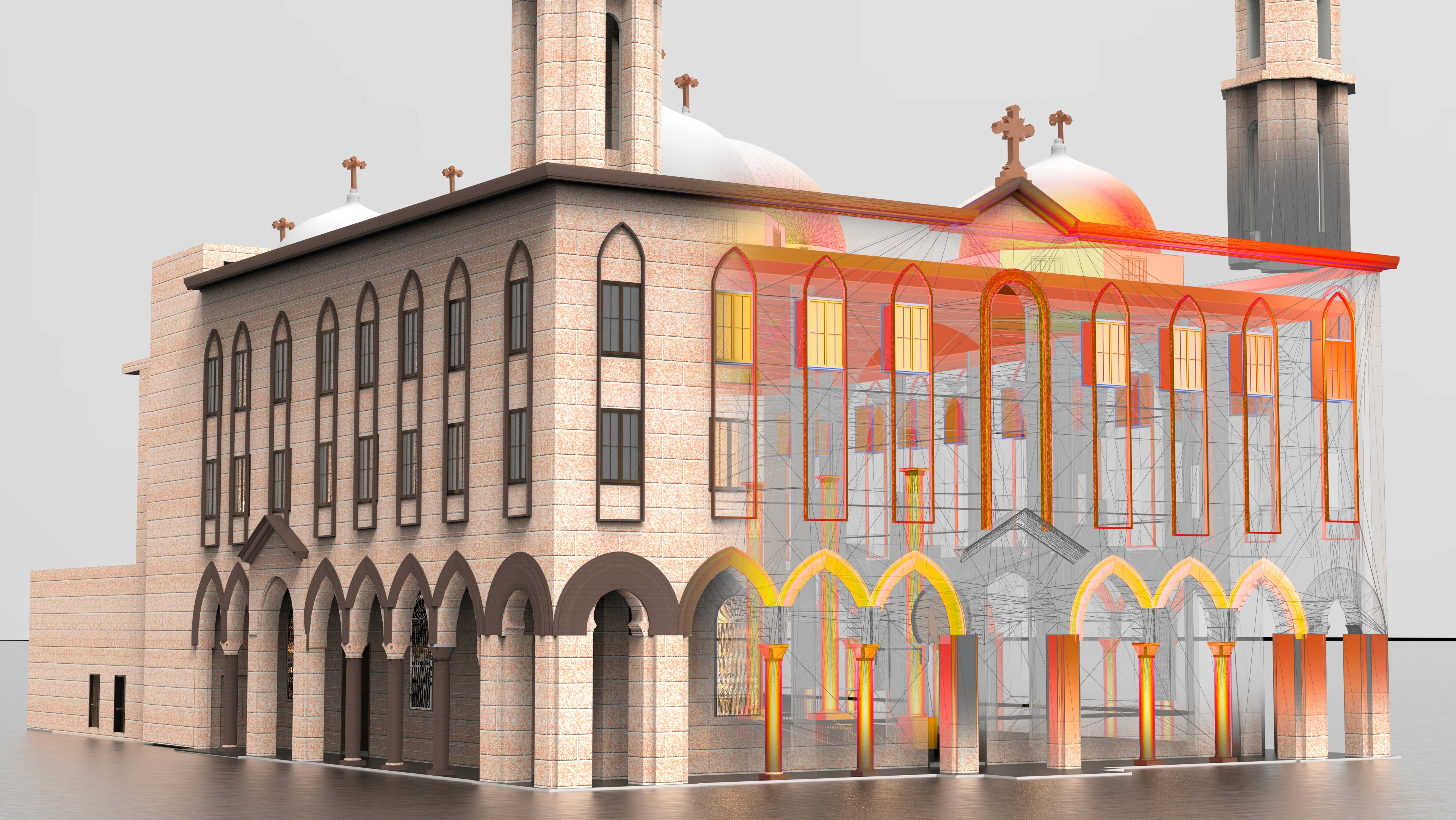
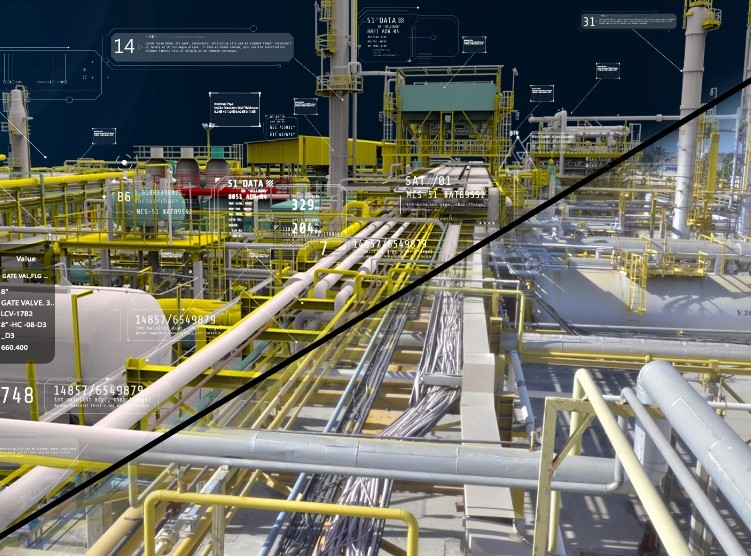
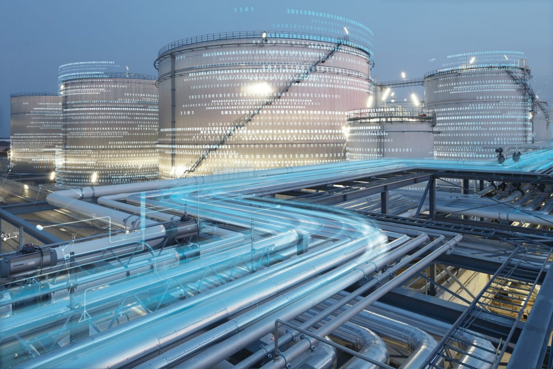
Digital Twin
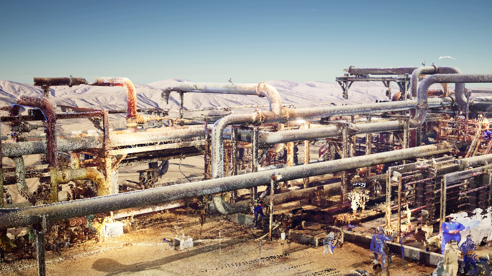
Pointcloud Data Processing
3D Virtual Reality
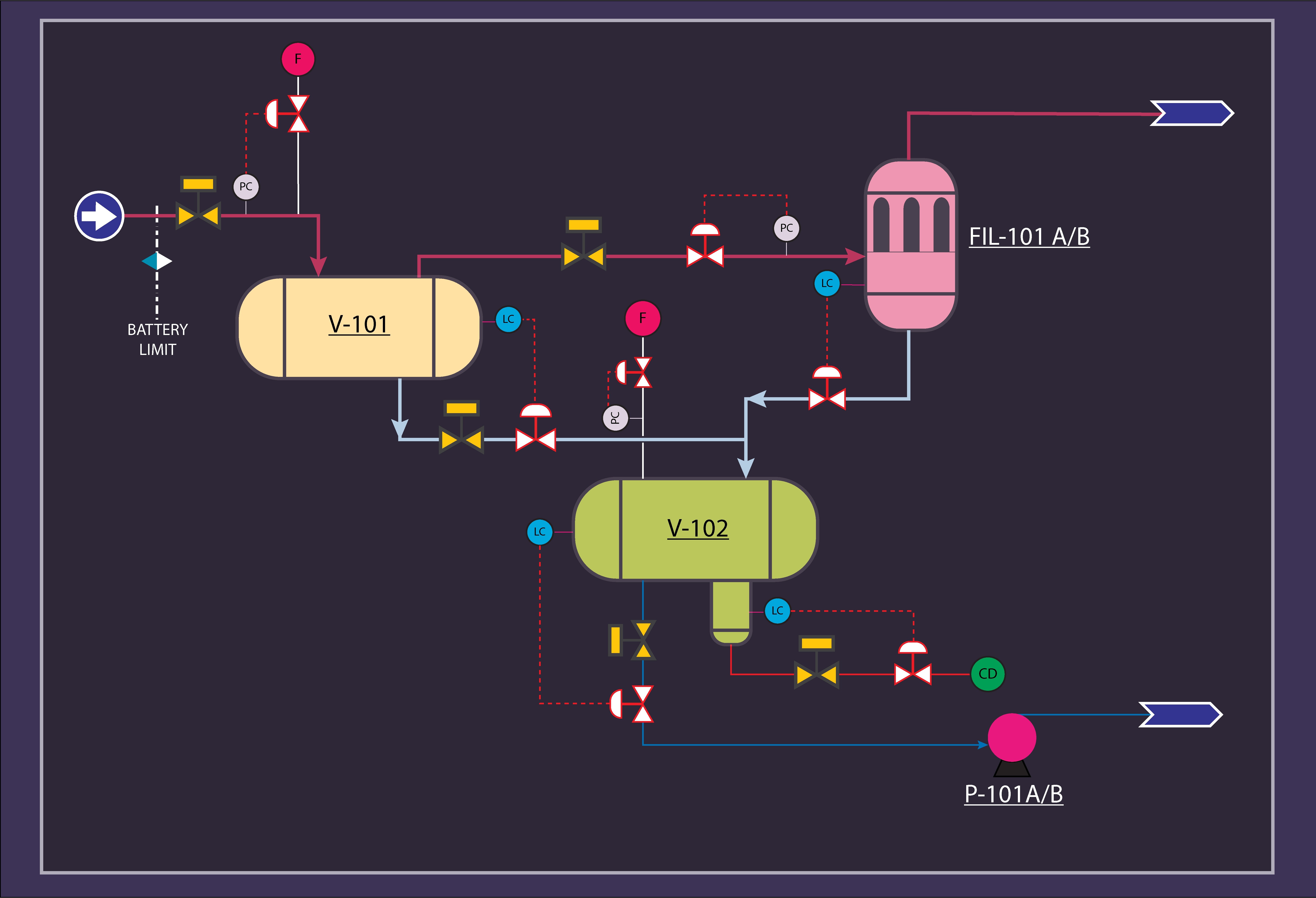
P&ID PFD
GIS
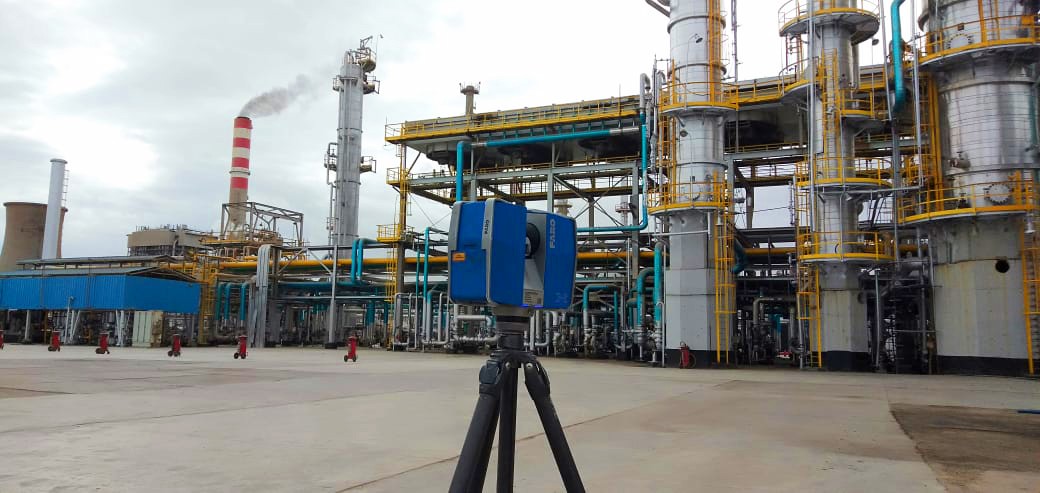
3D Laser Scanning
Design QA/QC
What We Do
MEEG is your destination for complete laser scanning services with our team experience and more than 500,000 scan in different energy and construction environments, indoor and outdoor facilities in Egypt.
Values
OUR FLEET of laser scanners covers Short-range, medium-range and long-range
The high resolution 360- degree panoramic photographs that are taken from our laser scanner on site to help our client navigate and have full control and view of the project

We can quickly adapt to new standards and specifications.e requirement of re-visiting the site is eliminated.
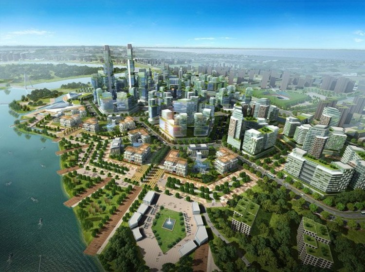
Within a number of environments such as building development, roads and rail across a range of countries.
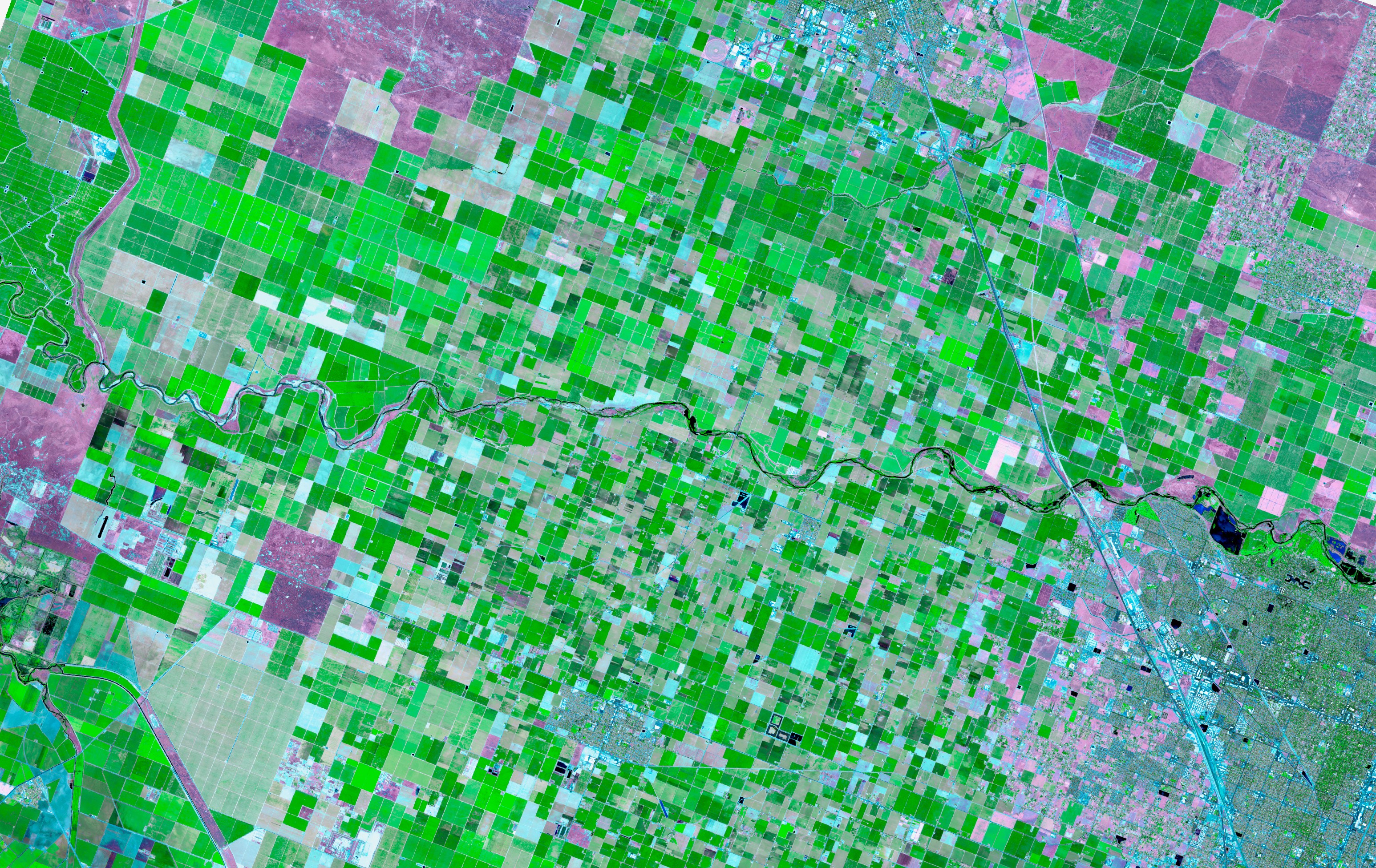
Laser scanning can be utilized to capture significant urban areas in a timely and efficient manner.
For larger or inaccessible areas such as major roads or brownfield sites Mobile scanning (vehicle mounted) or Ariel scanning (UAV) can be organized.

The scanned data can be delivered to the client as point cloud data or converted to 3D as-built model for use with popular CAD programs.
Laser scanning becomes an indispensable tool in producing measurable difference for service professionals across many industries to visualize schematic structures, test what if scenarios, validate their plans, and detect clashes or problems with design quality.